Knuckle Light
Eastern Arm North
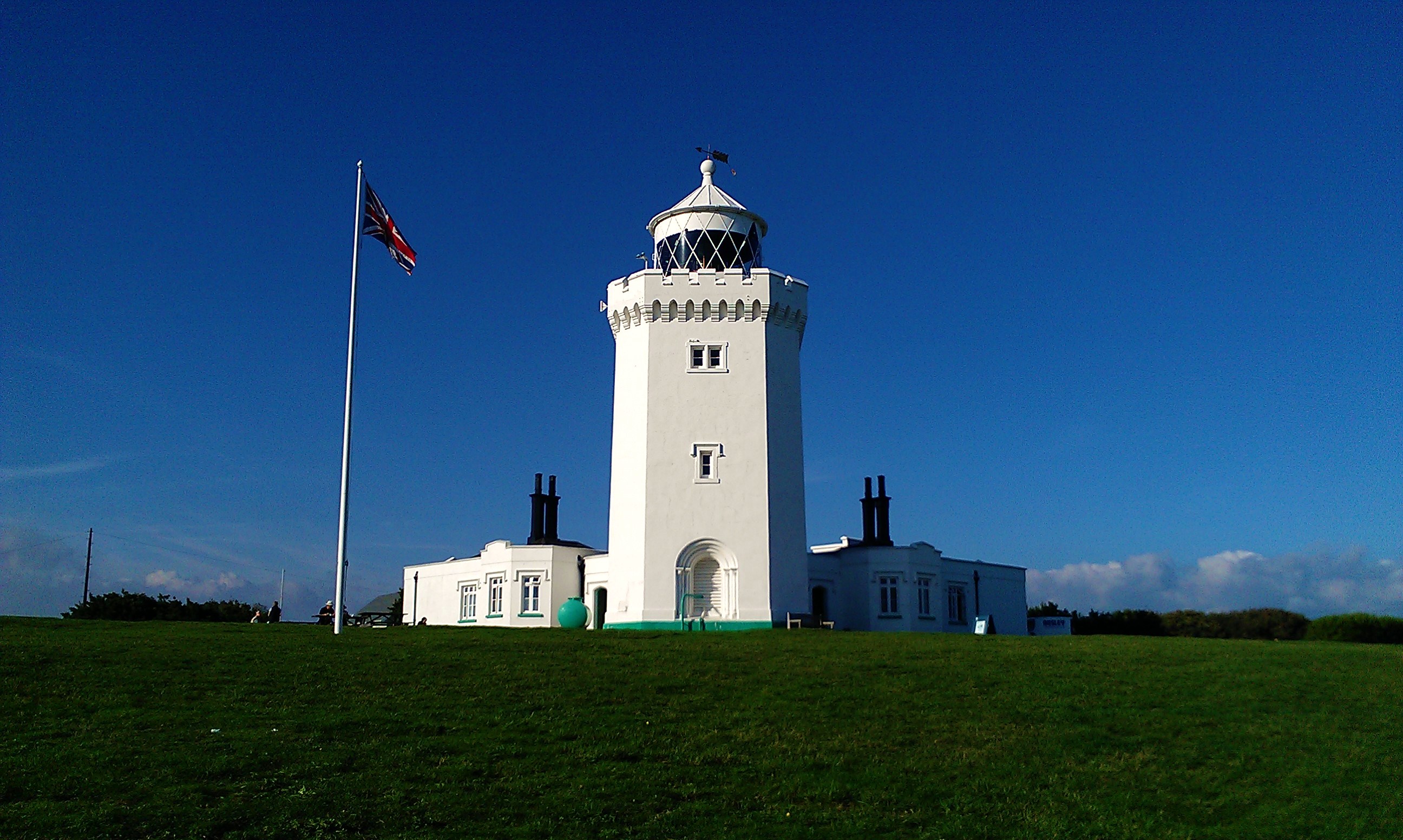
The Knuckle Light
The Knuckle Light is a notable lighthouse located on Eastern Arm North, Dover, United Kingdom.
History
- The construction of the Knuckle Light began in 1909 and was completed in 1910. The lighthouse has been an important aid to navigation for mariners entering the English Channel.
Architecture
The Knuckle Light stands at a height of 15 meters (49 feet) above sea level, with its focal point located at a height of approximately 30 meters (98 feet). The light is characterized by two red and white flashing lights, which are visible from a range of 13 nautical miles for the red light and 15 nautical miles for the white light. The light's unique sequence pattern features four flashes in each direction.
The lighthouse was designed by an unknown architect, using traditional construction materials such as stone and brick.
Current Status
The Knuckle Light is currently an active aid to navigation, operated by the Dover Harbour Board. However, its status may be subject to change due to ongoing maintenance and upgrades.
Location and Accessibility
The Knuckle Light is situated on Eastern Arm North, near the town of Dover in Kent, United Kingdom. The lighthouse can be accessed via a small path leading from the nearby road, although access may be restricted during certain periods.
Heritage Status
The Knuckle Light has been designated as a notable landmark and is included in local heritage listings.
Notable Historical Events
Unfortunately, no specific historical events are recorded for the Knuckle Light.
Details
| Name | Knuckle Light |
|---|---|
| City | Dover |
| Country | United Kingdom |
| Coordinates | 51.117428, 1.3415045 |
| Current use | active aid to navigation |
Nearby Lighthouses
Other lighthouses close to Knuckle Light