South Foreland Lower Lighthouse
The Front

South Foreland Lower Lighthouse
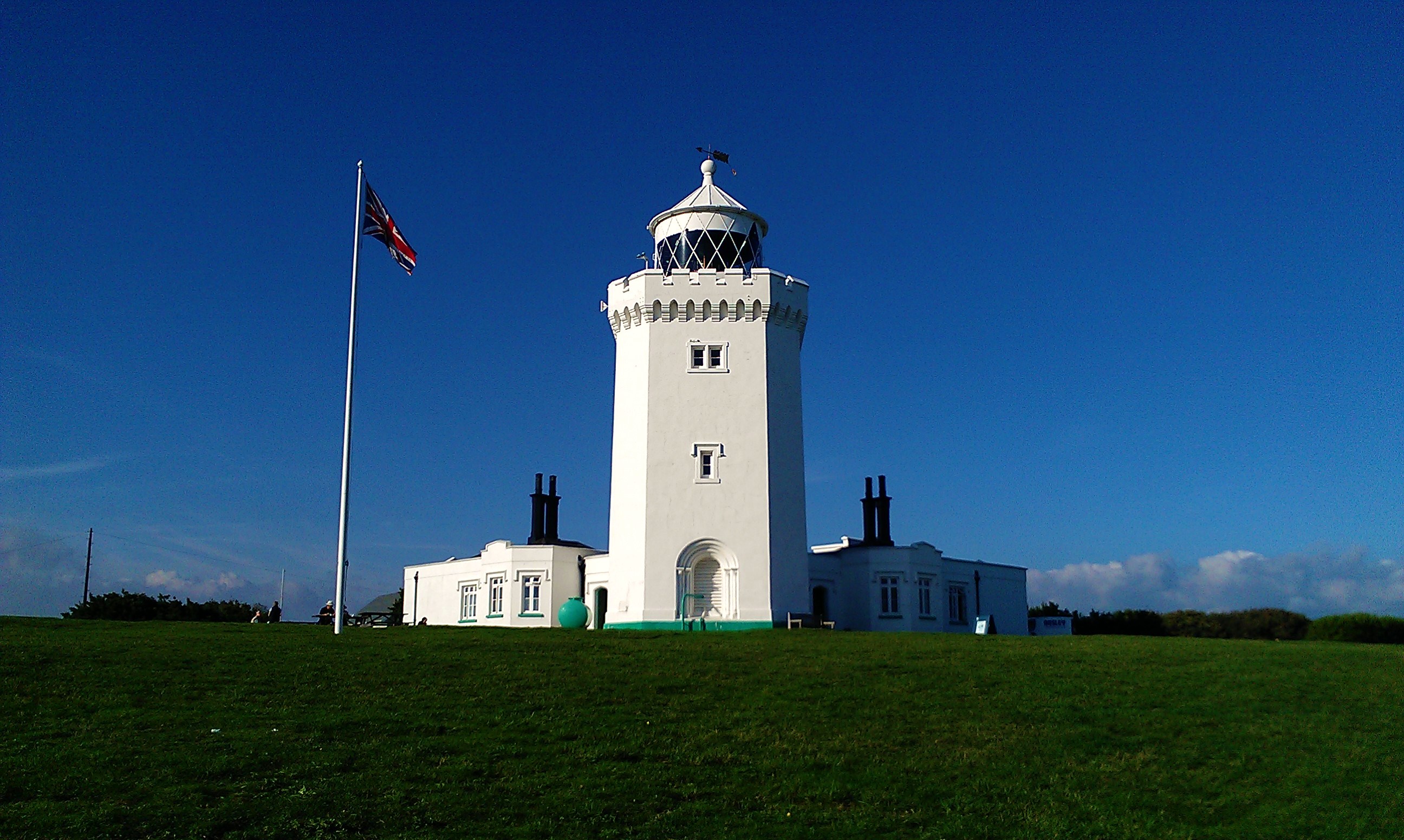
The South Foreland Lower Lighthouse is a historic lighthouse located on the Kent coast of southeast England.
History
- Built in 1843, this lighthouse played a crucial role in navigation before its disuse during World War II. The coastal battery and radar station constructed nearby added to its military significance.
- After decommissioning in 1904, it was sold into private ownership.
Architecture
The South Foreland Lower Lighthouse is an example of mid-19th-century lighthouse design. Its construction materials are not specified, but it is believed to be built using local chalk and stone.
Light Characteristics
The lighthouse emits a fixed white light with a range of approximately 20 nautical miles (37 km). The exact pattern of the beam is not specified.
Current Status
The South Foreland Lower Lighthouse is no longer an active aid to navigation. It has been decommissioned and is now in private ownership, although its current status as a museum or tourist attraction is unclear.
Location and Accessibility
The lighthouse is situated on The Front, Dover, Kent, England. Visitors can access the area via the Saxon Shore Way, a 157 km (98 mile) long footpath that traverses the Kent coast.
Heritage Status
No specific heritage designation has been assigned to the South Foreland Lower Lighthouse. However, the surrounding area is part of the National Trust's ownership and is open to the public.
Notable Historical Events
- During World War II, the coastal battery constructed nearby played a significant role in military operations.
- The proximity of the lighthouse to the European mainland also made it an important location for radar stations and military surveillance.
Details
| Name | South Foreland Lower Lighthouse |
|---|---|
| City | Dover |
| Country | United Kingdom |
| Coordinates | 51.140965, 1.3760508 |
| Current use | private ownership (status unclear) |
Nearby Lighthouses
Other lighthouses close to South Foreland Lower Lighthouse